
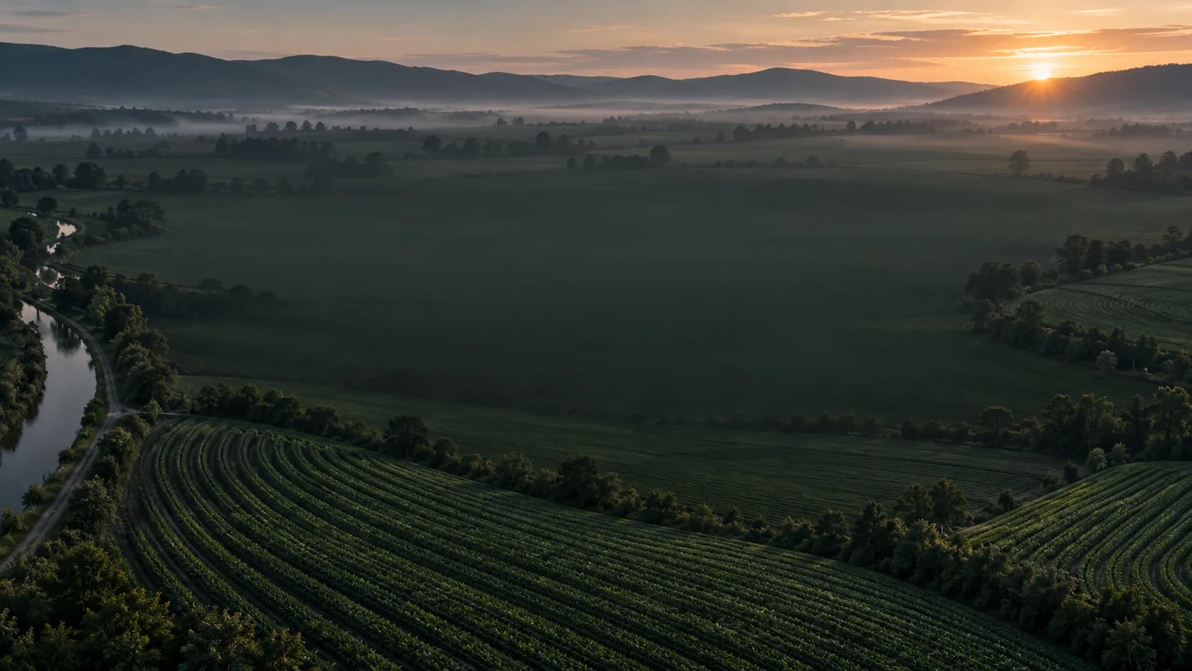
Understand the whole field
Satellite imagery, weather, sensor readings, drone records and field observations answer different questions. OmniTerra’s approach considers each source alongside its location, time and growing conditions, helping teams understand the context behind a measurement.
Make the evidence visible
A useful recommendation needs an understandable basis. Source, freshness, confidence and uncertainty belong in the same decision workflow. The aim is to help teams review a recommendation and verify it in the field when needed.
Keep expertise and responsibility with the team
Decision support does not replace an agronomist’s assessment or a farm’s responsibility. Review, approval, action and outcome monitoring are complementary steps. Ownership of each step should reflect the way your team works.
What you can explore on this website
The interface images and 3D plant scene introduce OmniTerra. Explore its data sources, use cases and example workflows. For general questions about the platform, contact us at the email address below.