01
Satellite and imagery
Inspect RGB, NDVI, cloud and SAR layers in field context.

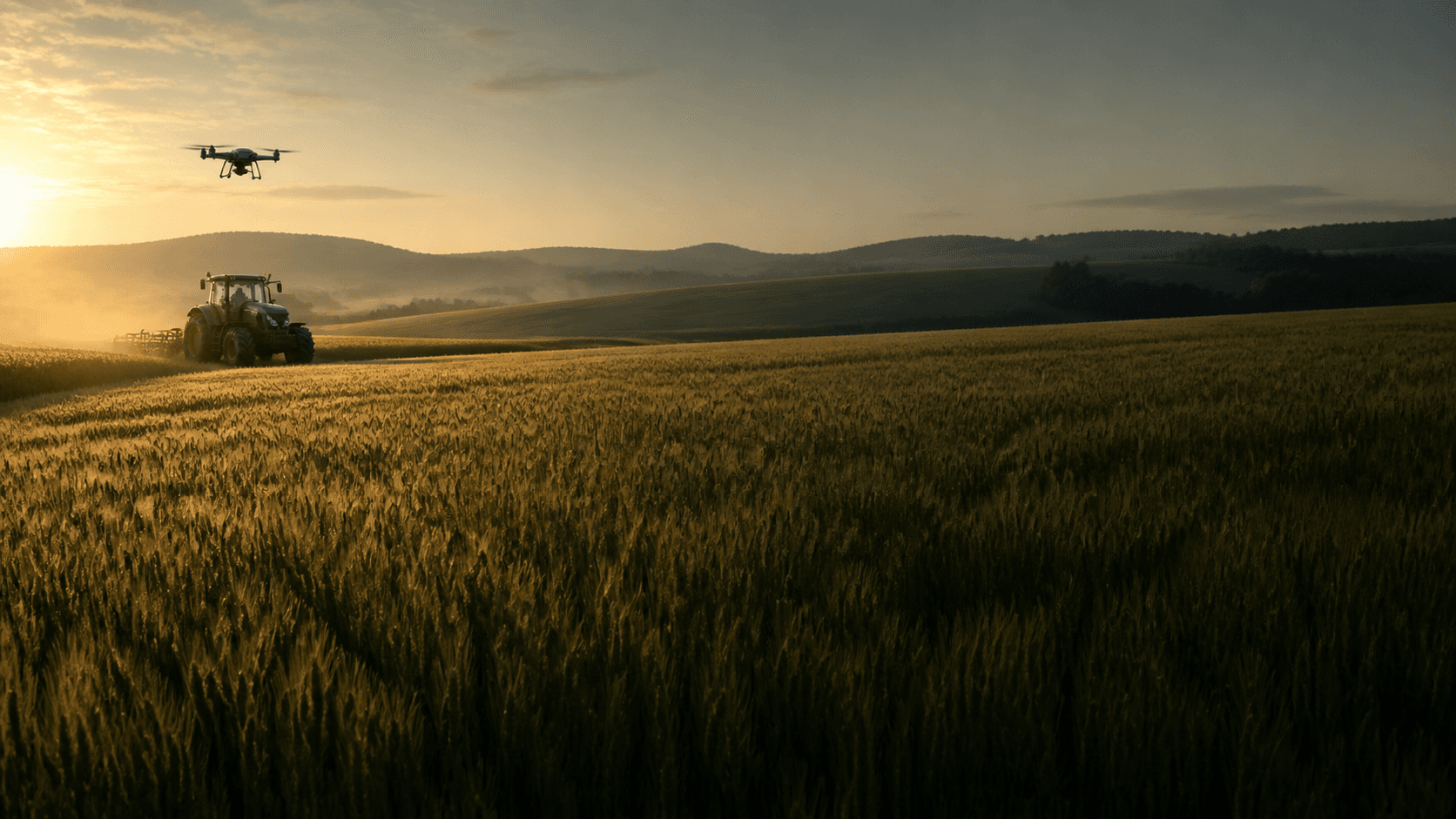
01Data-informed farm management
OmniTerra brings satellite imagery, weather and sensor data, drone records and field observations together. Assess growing conditions, review recommendations and follow your team’s work in one place.
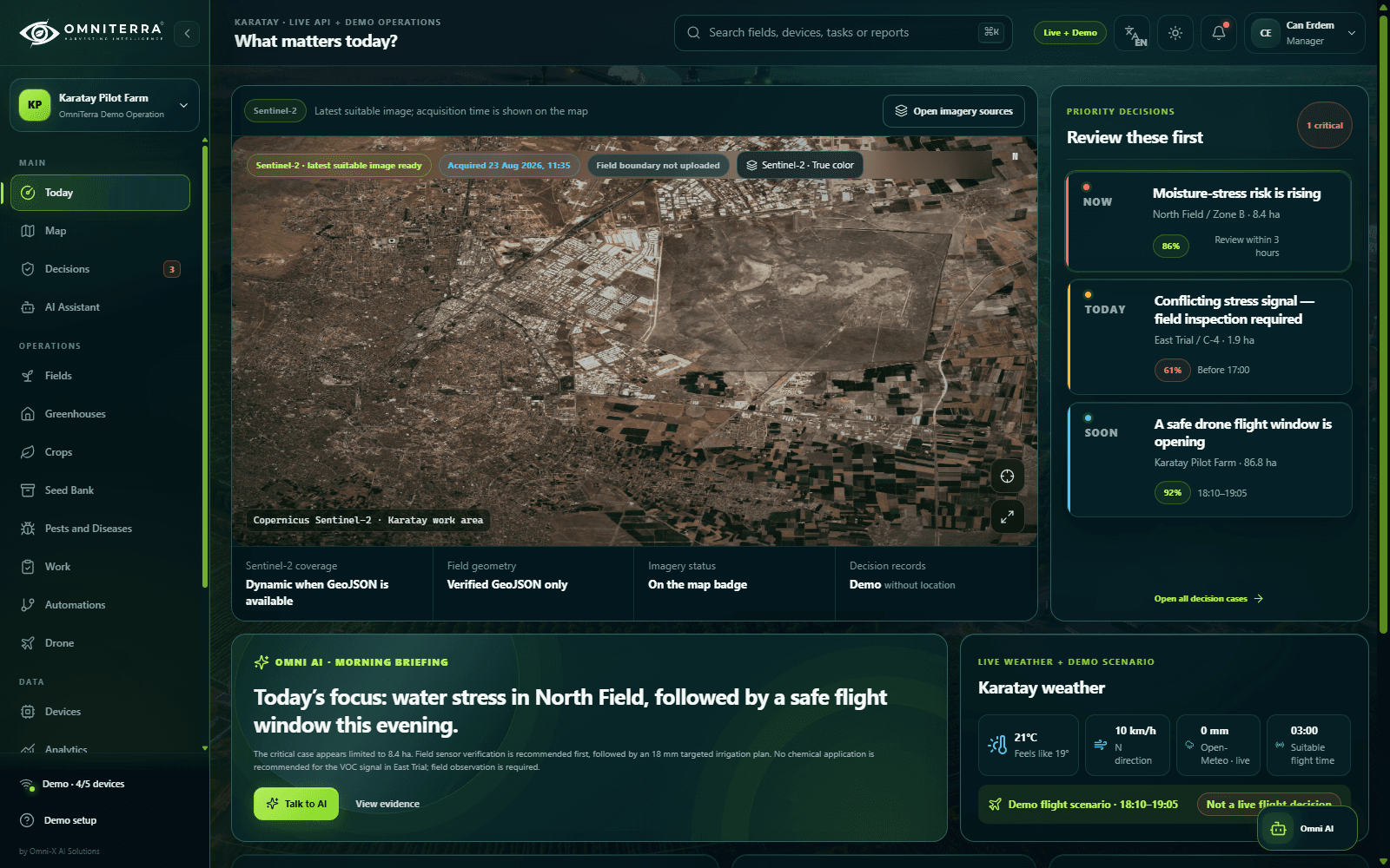
02Field data
Review satellite imagery, weather forecasts, device readings and field records in one place. See where each record came from, the area it covers and when it was captured.
Inspect RGB, NDVI, cloud and SAR layers in field context.
Read measurements with timestamps, source and data-state labels.
Plan flight windows, missions and field verification in one flow.
03Plants and growing conditions
Plant growth is shaped by water availability, soil conditions, wind, disease and foliage density. Select a factor to explore its effect on the plant and its relationship with growing conditions.
04From field to knowledge
OmniTerra does more than display sensor charts. Crop knowledge, production context, and pest and disease references stay within reach at the moment of decision.
Variety, sowing, harvest, growing conditions and sourced records in one library.
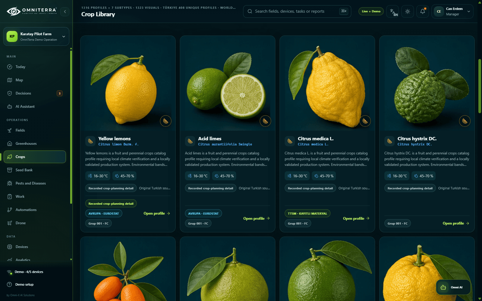
Visual references to support pest and disease assessment and integrated pest management planning.
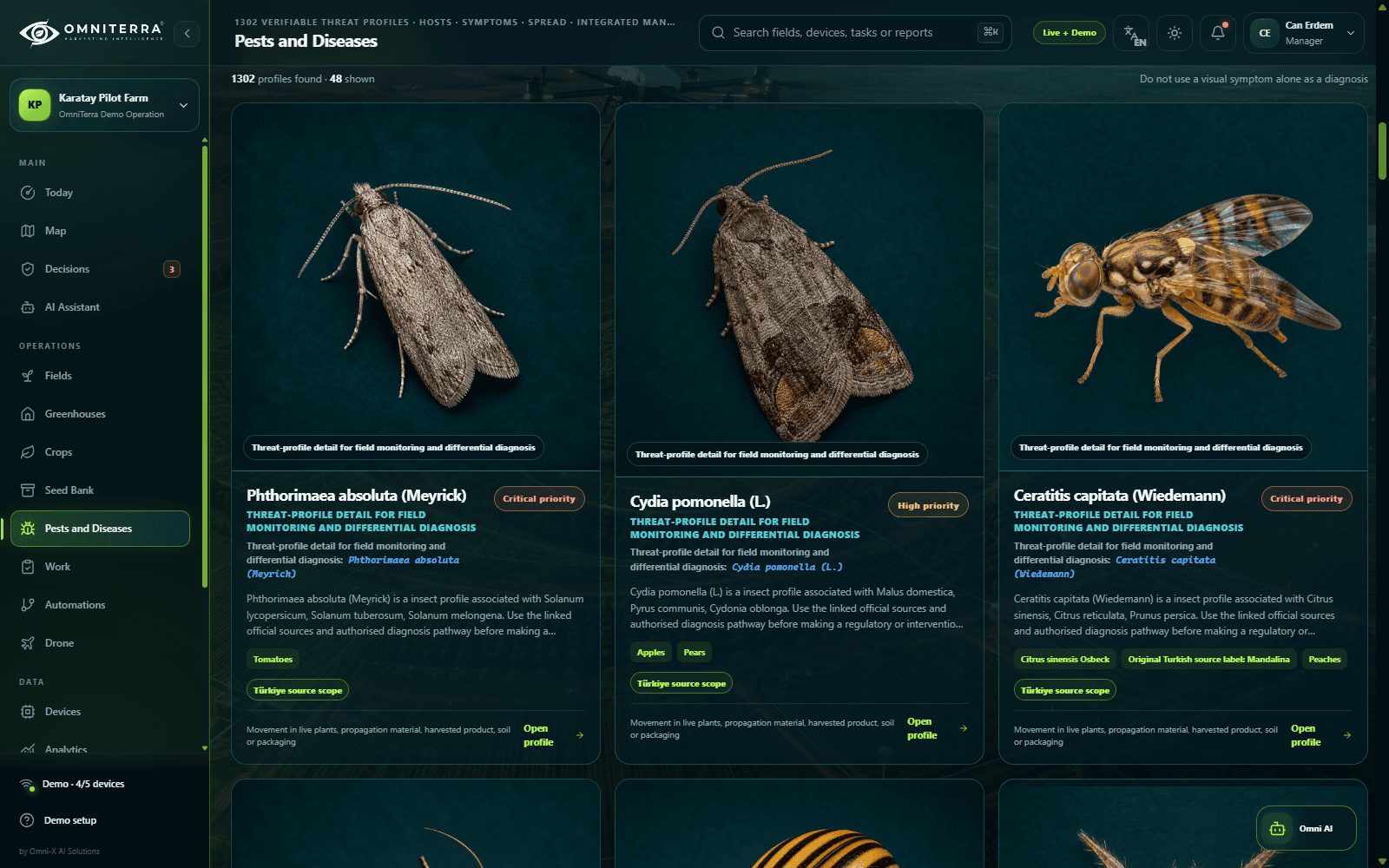
05Recommendations and field work
Review supporting data, assessment criteria and expert input together. Turn approved work into tasks and follow the results.
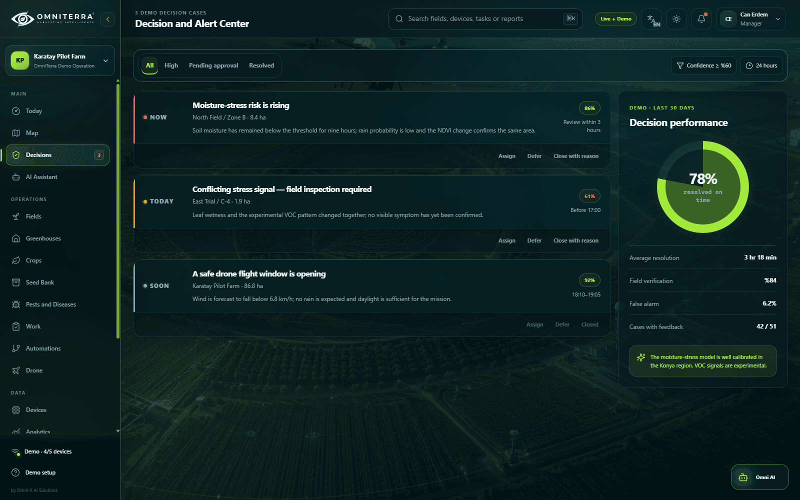
Source, place, time and data state are preserved.
AI makes reasoning and uncertainty visible.
The agronomist reviews; the manager approves.
The operator acts; the outcome is monitored again.
06Individual and team workflows
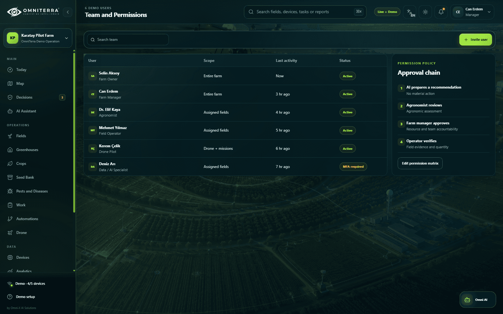
OmniTerra AI helps prepare briefings and recommendations for independent users. As your team grows, define access permissions and approval workflows while keeping decisions under human control.
Prepare briefings, evidence summaries and recommendation drafts in one workspace.
Define who can see, review and approve each consequential action.
07Work and outcome tracking
Track the data behind each recommendation, who approved it and how it was carried out. Compare new measurements with earlier records to assess the results.
08Agriculture at different scales
Planned use cases for different needs, from a single farm to operations across several regions.
A planned option for a limited scope on one farm.
For growing farms and cooperatives.
For multi-region and custom-integrated operations.
These options describe planned use cases. Purchases and setup requests are not available here.
09Contact
For general questions about OmniTerra or partnership proposals, fill out the form or send us an email.